
BLOG / TECHNICAL LIBRARY 423
Terrain, Facility Layout, and the Evidence Needed for UAV Sensor Projects
Terrain and built form can change what a UAV-sensing project can responsibly claim—but they do not justify a deployment recipe. This guide helps New Ark teams turn slopes, structures, access zones, and neighboring spaces into documented requirements, validation questions, and accountable decisions for a public C-UAS and industrial low-altitude safety context.
INFORMATION & PROJECT-GOVERNANCE CONTEXT / CONCEPTUAL SCENE
Put technology questions back into an authorised, reviewable, and verifiable project context.
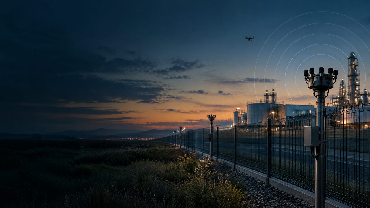
This conceptual scene helps explain conditional information, protected services, human review, and written validation. It is not a deployment or field-outcome claim.
BLOG SUMMARY
Treat the site as a governance question, not a coverage diagram
A sound project reference distinguishes physical context from technical conclusions. Record the terrain and facility constraints, define authorised objectives and protected services, set privacy and safety boundaries, identify EMC and aviation considerations, and require written validation under representative conditions. Human review remains accountable for interpreting evidence and approving any project decision.
TERMS IN THIS GUIDE
Hover, focus, or tap a term for a bounded definition. Each definition links to the terminology reference.
PROJECT QUESTION / 01
1. Describe context without turning it into a placement recipe
Capture the project context at an appropriate level: elevation changes, enclosed or open areas, reflective or obstructed structures, public interfaces, hazardous zones, neighboring properties, maintenance access, and environmental constraints. The record should explain why each condition matters to requirements or evidence, while avoiding prescribed sensor positions, spacing, coverage geometry, thresholds, or site-specific operating instructions.
CONTEXT & UNCERTAINTY / 02
2. Set authority, protected services, and privacy boundaries first
Before comparing any sensing approach, document the lawful purpose, authorised decision-makers, protected services, aviation and property boundaries, data minimisation expectations, retention rules, and escalation ownership. Consider passive acoustic, analytic RF, optical, or other inputs only as governance-controlled project options; do not assume that a modality is appropriate for a particular UAV, place, or condition without written, reviewable justification.
PROTECTION & COMPLIANCE / 03
3. Make terrain and layout testable through written validation
Require suppliers and integrators to state assumptions, exclusions, environmental limits, dependencies, and evidence methods in writing. Validation should be agreed at project level and conducted only with appropriate authorisation, safety offsets, EMC/compliance review, privacy controls, and accountable human assessment. A result should be treated as bounded evidence for the tested context—not a performance guarantee or a basis for target selection, tracking, intervention, or interference.
GOVERNANCE & VALIDATION / 04
4. Govern integration, change, and uncertainty
Facility alterations, temporary works, weather, machinery, radio environments, neighboring activity, and policy changes can alter project assumptions. Establish who may approve changes, how records are versioned, how uncertainty and false interpretations are documented, and how protected services remain unaffected. Integration governance should preserve independent human review and provide a defensible route to pause, revise, or reject a requirement without introducing response or control instructions.
TECHNICAL & COMPLIANCE BOUNDARY / 05
This guide is an educational project reference—not an operating, deployment, integration, or performance instruction.
01Availability and interpretation of acoustic, RF, radar, EO/IR, visual, and other information depend on site conditions, environment, data quality, protected services, permissions, privacy, and accountable review. This page does not promise detection, identification, classification, location assessment, tracking, availability, safety, non-interference, or risk outcomes.
02Any equipment, interface, data handling, industrial-system connection, spectrum-related arrangement, aviation coordination, or later project decision requires appropriate authority, engineering review, qualified personnel, and written scope.
03The public guide does not provide target selection, sensor positioning, thresholds, algorithms, execution sequences, signal control, interference, navigation manipulation, or response methods.
BLOG FAQ / 423
Frequently asked questions on Terrain, Facility Layout, and the Evidence Needed for UAV Sensor Projects.
These answers support bounded, project-level discussion. They are not an operating, deployment, integration, or field-outcome instruction.
RECORDTECHNICAL LIBRARY / GOVERNED INFORMATION FAQ
NEXT STEP / PROJECT PATH
Discuss PCBA delivery and custom-project conditions.
From sensing modules to system integration, interfaces, environmental fit, certification, and documentation scope belong in a written project definition.
CONTINUE THE READING
CONTENT DISTRIBUTION / SHARE
Share this reviewed project release.
Opens the platform share interface in a new window.
Review the full ARC-PERIMETER perimeter solution.
A consolidated reference from microphone-array networking to layered perimeters and project validation.
Acoustic Drone Detection vs. RF Detection: Why Critical Infrastructure Needs Multiple Sensors
A governance-first comparison of passive acoustic and RF information roles for airports, energy facilities, ports, data centres and other critical infrastructure. It explains conditional evidence, protected services, accountable review, lawful authority, integration and written validation—not a sensor prescription, placement plan, threshold, signal-control method or performance claim.
Drone Detection for Critical Infrastructure: A Project Guide for Airports, Energy Facilities and Data Centers
A governance-first guide to discussing acoustic, RF, radar, EO/IR and visual information for airports, energy facilities, ports and data centres. It frames protected services, conditional evidence, interfaces and written validation—not a sensor prescription, deployment plan, threshold, control method or performance claim.