
BLOG / TECHNICAL GUIDE 03
How should industrial projects compare
radar, RF, acoustic and EO/IR information?
Refineries, LNG terminals, chemical facilities, energy-storage sites, ports, and other critical environments often ask which sensing technology is best. A more useful project question is what each information source can and cannot contribute under local conditions, and how accountable personnel can corroborate observations without treating any public description as a site result, deployment instruction, or response method.
BLOG SUMMARY
A four-technology comparison is not a winner’s table. It is a disciplined way to map different information roles, uncertainty, and engineering constraints.
Radar, RF reception, passive acoustic information, and electro-optical or infrared observation draw on different physical conditions. Their usefulness can be affected by terrain, structures, industrial noise, visibility, weather, equipment interfaces, authorised data handling, hazardous-area classification, and the questions a project has actually defined. A resilient review makes those conditions visible and records how people will assess incomplete or conflicting evidence.
ACOUSTIC · EO/IRCONTEXT · CORROBORATION · RECORD
TERMS IN THIS GUIDE
Hover, focus, or tap a term for a bounded definition. Each definition links to the full terminology reference.
COMPARISON FRAME / 01
Start with a question about evidence quality and site conditions, not a public claim that one sensing source covers every situation.
The four information categories can be complementary. Their relative contribution depends on the local environment, the operational and legal context, system interfaces, the available evidence, and the project’s acceptance questions. This guide does not rank products, establish a sensor layout, or infer any outcome for a particular site.
Different physical inputs
Radar may review reflected electromagnetic information; RF reception may review radio-related observations; passive acoustic arrays may review sound-related information; and EO/IR systems may contribute visual or thermal observations. These are not interchangeable evidence types.
Different environmental constraints
Structures, terrain, clutter, weather, light, smoke, industrial noise, local radio activity, mounting conditions, maintenance access, and data quality can each affect what may be reviewed. A generic comparison cannot remove those conditions.
Different engineering questions
Hazardous-area classification, certification, power, communications, network architecture, EMC, existing industrial controls, ownership, maintenance, and data retention should be considered before a system role is assumed.
Different accountability
A project should define who reviews an indication, what corroborating information is authorised, how uncertainty is recorded, and which decisions remain with accountable personnel. Those rules are project governance, not public-blog instructions.
RADAR-RELATED INFORMATION / 02
Radar can contribute physical-environment observations, subject to its own siting, certification, clutter, and integration constraints.
Radar is frequently discussed as a wide-area physical sensing input. In an industrial project, however, it is not enough to describe a technology category. Teams need to review permitted installation locations, hazardous-area rules, local reflectivity and clutter, interface design, maintenance obligations, aviation considerations, and the quality of the information available in the intended setting.
Physical observation
A radar-related input may contribute observations about objects in a physical environment under documented project conditions. Public discussion should not convert those observations into a promise of identification, classification, location accuracy, continuity, or response outcome.
Industrial geometry
Tanks, pipe racks, buildings, terrain, vehicles, cranes, and process activity can change the physical context in which information is reviewed. Their presence is a reason for site assessment, not evidence of a universal technology limitation or result.
Siting and certification
Any active equipment may raise questions about hazardous-area classification, certification, power, cabling, maintainability, electromagnetic compatibility, aviation context, and local approvals. Qualified engineering review determines what may be assessed.
Corroboration role
A physical observation can be considered alongside other authorised sources. It should not be treated as a standalone conclusion about an aircraft, its operator, its intent, or a subsequent action.
RF-RECEPTION CONTEXT / 03
RF reception may add radio-related context where observable and permitted; its project role must remain evidence-led and legally governed.
Radio-related observations can be useful in some project contexts, yet their availability and interpretability are conditional. Equipment configuration, background spectrum use, legal permissions, interference protection, data governance, and the presence or absence of relevant emissions all affect what may be reviewed. This guide does not describe protocol analysis, operator location, signal control, or any response action.
Conditional observability
A project can document whether and how radio-related information may be observed in a particular setting. The answer is not fixed by a public label such as ‘RF drone’ or ‘fibre-linked UAV’; it depends on evidence and conditions.
Spectrum governance
Spectrum use, protected services, industrial communications, public communications, aviation considerations, and local radio rules may constrain assessment and integration. Compliance questions should be resolved through competent review and written scope.
Information boundaries
An RF-related observation does not independently establish aircraft identity, intent, position, legal status, or risk. It may be one input in a documented review of uncertainty and corroborating information.
No public response path
This article does not provide signal parameters, targeting, interference, navigation manipulation, or response logic. Any subsequent arrangement requires authorisation, engineering review, accountable roles, and written project controls.
PASSIVE ACOUSTIC INFORMATION / 04
Passive acoustic arrays can contribute sound-related environmental information without using RF transmission to acquire that information.
Acoustic discussion is often simplified into claims about universal coverage or a fixed performance result. A more rigorous approach starts with the character of sound-related information and the factors that can affect it: industrial background noise, weather, terrain, structures, mounting, maintenance activity, data quality, and the project’s own validation plan. Passive collection does not turn a public blog into an approval or a result.
Sound-related input
Microphone arrays can be discussed as a source of sound-related observations for authorised review. Those observations do not independently confirm an aircraft type, location, trajectory, intention, safety condition, or outcome.
Industrial baseline
Compressors, pumps, generators, vehicles, processes, weather, terrain, and changing operations may affect environmental sound conditions. Establishing a site baseline and review process is more meaningful than importing a generic sensitivity claim.
Safe-offset discussion
At high-hazard facilities, the location of any equipment must be considered against hazardous areas, external buffers, certification, installation access, power, network, and operator procedures. Passive information does not remove those obligations.
Complementary role
Sound-related information may be examined alongside visual, thermal, physical, radio-related, operational, or other authorised sources. Cross-corroboration supports evidence review; it does not guarantee an alert quality or a field outcome.
EO/IR OBSERVATION / 05
Visual and thermal observation can add a distinct evidentiary perspective, subject to line of sight, environmental conditions, and human review.
EO/IR systems are frequently associated with visual confirmation. In a project setting, their contribution is conditioned by line of sight, scene complexity, weather, lighting, smoke, dust, camera placement, operator review, record handling, and the quality of information available at the relevant time. They should be described as an evidence source, not as an automatic decision-maker.
Visual perspective
Visible-light or infrared observations may add context that differs from sound-related, physical, or radio-related information. What can be seen or interpreted is conditioned by environment, equipment, interfaces, and accountable review.
Environmental limits
Structures, terrain, lighting, weather, smoke, dust, reflections, and scene movement can affect visual or thermal information. Those constraints should be part of a site review and validation discussion, rather than hidden behind a generic product description.
Human interpretation
Images and thermal observations require accountable interpretation under the project’s rules. A public page should not infer intent, payload, target identity, legality, or a response decision from a visual source.
Evidence recording
Projects can define what is recorded, who may access it, how retention is governed, and how visual observations are reconciled with other authorised information. These are data and governance questions as much as technical questions.
CROSS-CORROBORATION / 06
A layered architecture is a way to organise independent evidence sources and human review—not a promise that uncertainty disappears.
A multi-sensor discussion should make uncertainty explicit. Information sources can be incomplete, ambiguous, unavailable, or inconsistent. A project can establish how authorised personnel compare available evidence, relate it to site conditions, decide whether further review is warranted, and retain an auditable record. That governance pattern is distinct from any sensor configuration or response procedure.
Independent perspectives
Sound-related, radio-related, physical, visual, thermal, operational, and other approved information may offer different perspectives. A project should document their known constraints rather than assume that more sources automatically produce a particular result.
Corroboration questions
Teams can agree which questions require more than one information source, how contradictory observations are handled, and when an item is closed, escalated, or retained for further authorised review.
Human authority
Accountable personnel retain responsibility for assessment, safety, and any decision. This guide does not describe automatic action, prioritisation rules, targeting, or response logic.
Written validation
Field conditions, interfaces, environmental baselines, acceptance questions, record keeping, responsibilities, and any conclusions should be defined and reviewed in writing. Public educational material cannot replace that work.
HIGH-HAZARD INDUSTRIAL DESIGN / 07
For high-hazard infrastructure, safe-offset engineering review comes before architecture discussion.
Oil and gas sites, LNG facilities, chemical plants, storage areas, energy assets, ports, and similar environments have their own area classifications, process boundaries, maintenance rules, industrial interfaces, and emergency procedures. A technology comparison should start with those realities. No sensing category is a substitute for hazardous-area review, engineering approval, operator authority, or local law.
Define the boundaries
Identify core hazardous areas, external safety buffers, assessable installation zones, maintenance access, and protected services before discussing the role of any information input.
Review interfaces
Power, data, communications, EMC, industrial-control protection, network ownership, certification, service access, and incident-record responsibilities require site and engineering review.
Protect people and services
Projects should consider aviation, public communications, industrial continuity, worker safety, and applicable authorities as explicit constraints. This article makes no claim that a given system will avoid any impact.
Validate in writing
A site survey, defined questions, authorised roles, acceptance boundaries, and an evidence record provide a more responsible foundation than generic public claims about coverage, accuracy, or false-alert reduction.
FROM COMPARISON TO PROJECT / 08
ARC-PERIMETER™ supports structured discussion of passive acoustic information, integration context, and site validation—not a pre-set sensor answer.
New Ark can discuss complete-system and acoustic-PCBA integration paths in relation to a project’s safe offsets, information architecture, interfaces, responsibilities, and validation questions. What is appropriate remains dependent on site conditions, permissions, engineering review, and a written project scope.
Project discovery
Begin with site boundaries, hazardous-area information, environmental conditions, existing systems, responsible organisations, protected services, and applicable compliance requirements.
Information architecture
Discuss how passive acoustic information and other permitted sources may be represented, reviewed, recorded, and owned within the agreed project context.
Integration path
A complete system and an acoustic PCBA are separate discussion paths. Interfaces, documentation, materials, support, data responsibilities, and acceptance questions are agreed in writing.
Field validation
Use a site-specific, authorised validation plan to examine defined questions under documented conditions. A public blog cannot predict or infer validation outcomes.
TECHNICAL & COMPLIANCE BOUNDARY / 09
This comparison explains information roles and project questions; it is not a sensing deployment manual or a performance promise.
01Radar-related, RF-related, acoustic, and EO/IR information can each be affected by environment, equipment, installation, interfaces, data quality, site rules, and legal conditions. This blog does not promise detection, identification, classification, location assessment, tracking, availability, safety, non-interference, or risk outcomes.
02Any equipment, interface, spectrum use, data handling, aviation coordination, industrial connection, or subsequent arrangement must meet applicable permissions, certification, site authority, accountable human roles, and written project scope.
03The public page does not provide target selection, sensor positioning, thresholds, algorithms, execution sequences, signal control, interference, navigation manipulation, or response methods. Any relevant matters belong only in authorised project processes.
BLOG FAQ / 03
Frequently asked questions on comparing multi-sensor information for industrial perimeters.
These answers align with the complete technical blog and clarify the information roles of radar, RF reception, acoustics, and EO/IR, along with corroboration and project validation; they are not deployment, operating, or performance guidance.
RECORDTECHNICAL BLOG / MULTI-SENSOR PROJECT FAQ
CONTINUE THE READING
CONTENT DISTRIBUTION / SHARE
Share this reviewed project release.
Opens the platform share interface in a new window.
Review the full ARC-PERIMETER perimeter solution.
A consolidated reference from microphone-array networking to layered perimeters and project validation.
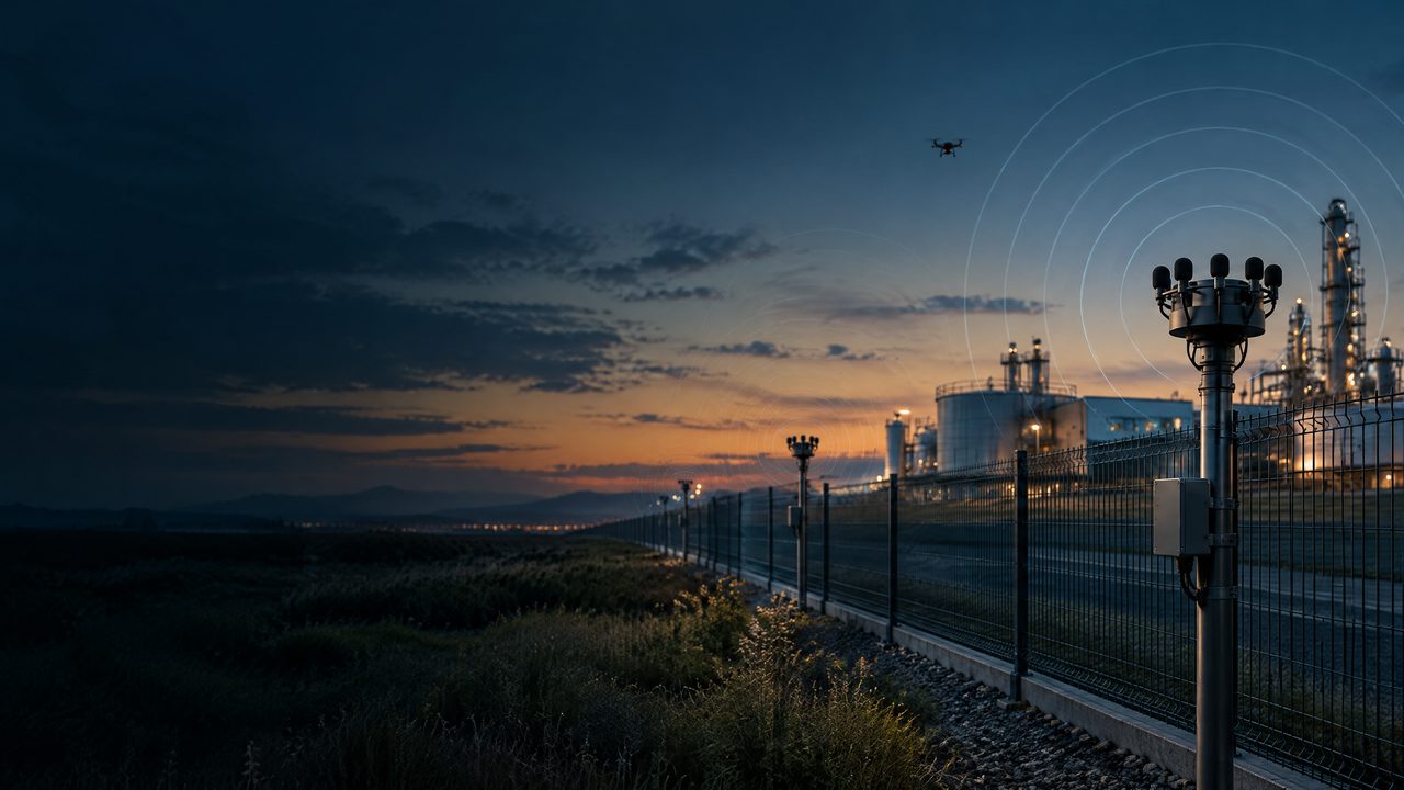
Acoustic Drone Detection vs. RF Detection: Why Critical Infrastructure Needs Multiple Sensors
A governance-first comparison of passive acoustic and RF information roles for airports, energy facilities, ports, data centres and other critical infrastructure. It explains conditional evidence, protected services, accountable review, lawful authority, integration and written validation—not a sensor prescription, placement plan, threshold, signal-control method or performance claim.
Drone Detection for Critical Infrastructure: A Project Guide for Airports, Energy Facilities and Data Centers
A governance-first guide to discussing acoustic, RF, radar, EO/IR and visual information for airports, energy facilities, ports and data centres. It frames protected services, conditional evidence, interfaces and written validation—not a sensor prescription, deployment plan, threshold, control method or performance claim.