
BLOG / EXTENDED TECHNICAL GUIDE 104
Designing a Drone Detection Network for Large-Scale Industrial Facilities
A public, project-level educational guide that explains how facility stakeholders can frame requirements, governance, information roles, and validation for a layered drone-detection network—without turning the article into a deployment manual or a promise of detection performance. Acoustic, RF, radar, EO/IR, and fusion are presented only as conditional sources of information whose suitability depends on the site, environment, lawful purpose, and review process. The New Ark C-UAS perspective is practical and systems-oriented: align stakeholders, document constraints, preserve human accountability, and validate claims in writing before relying on them.
INFORMATION & PROJECT-GOVERNANCE CONTEXT / CONCEPTUAL SCENE
Put technology questions back into an authorised, reviewable, and verifiable project context.
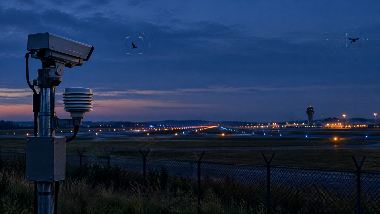
This conceptual scene helps explain conditional information, protected services, human review, and written validation. It is not a deployment or field-outcome claim.
BLOG SUMMARY
Start with the facility mission, risk boundaries, and governance brief
A public, project-level educational guide that explains how facility stakeholders can frame requirements, governance, information roles, and validation for a layered drone-detection network—without turning the article into a deployment manual or a promise of detection performance. Acoustic, RF, radar, EO/IR, and fusion are presented only as conditional sources of information whose suitability depends on the site, environment, lawful purpose, and review process. The New Ark C-UAS perspective is practical and systems-oriented: align stakeholders, document constraints, preserve human accountability, and validate claims in writing before relying on them.
TERMS IN THIS GUIDE
Hover, focus, or tap a term for a bounded definition. Each definition links to the terminology reference.
INFORMATION CONTEXT / 01
Start with the facility mission, risk boundaries, and governance brief
Define the public-safety, continuity, privacy, and assurance questions the project must address; identify lawful authority, protected services, safety offsets, accountable owners, and out-of-scope decisions before discussing technologies.
CONDITIONS & UNCERTAINTY / 02
Treat sensor types as conditional information roles
Compare what acoustic, RF, radar, and EO/IR may contribute as context-dependent observations, while explaining environmental constraints, data-quality limitations, privacy considerations, and why no single modality should be treated as universally sufficient.
CORROBORATION / 03
Design the fusion and human-review concept at project level
Describe fusion as a way to organize and corroborate information, not as an autonomous decision-maker; set expectations for responsible human review, uncertainty communication, auditability, access controls, and escalation to lawful authorities without discussing algorithms, thresholds, or response actions.
GOVERNANCE & VALIDATION / 04
Validate the concept through documented, safe, and accountable assurance
Provide a non-operational checklist for stakeholder review, privacy and safety assessment, protected-service coordination, written acceptance criteria, scenario-based evaluation, change control, and post-project learning, while excluding placement, ranges, timing, target selection, intervention, jamming, interception, or navigation manipulation.
TECHNICAL & COMPLIANCE BOUNDARY / 05
This guide is an educational project reference—not an operating, deployment, integration, or performance instruction.
01Availability and interpretation of acoustic, RF, radar, EO/IR, visual, and other information depend on site conditions, environment, data quality, protected services, permissions, privacy, and accountable review. This page does not promise detection, identification, classification, location assessment, tracking, availability, safety, non-interference, or risk outcomes.
02Any equipment, interface, data handling, industrial-system connection, spectrum-related arrangement, aviation coordination, or later project decision requires appropriate authority, engineering review, qualified personnel, and written scope.
03The public guide does not provide target selection, sensor positioning, thresholds, algorithms, execution sequences, signal control, interference, navigation manipulation, or response methods.
BLOG FAQ / 104
Frequently asked questions on Designing a Drone Detection Network for Large-Scale Industrial Facilities .
These answers support bounded, project-level discussion. They are not an operating, deployment, integration, or field-outcome instruction.
RECORDEXTENDED TECHNICAL GUIDE / GOVERNED INFORMATION FAQ
NEXT STEP / PROJECT PATH
Discuss PCBA delivery and custom-project conditions.
From sensing modules to system integration, interfaces, environmental fit, certification, and documentation scope belong in a written project definition.
CONTINUE THE READING
CONTENT DISTRIBUTION / SHARE
Share this reviewed project release.
Opens the platform share interface in a new window.
Review the full ARC-PERIMETER perimeter solution.
A consolidated reference from microphone-array networking to layered perimeters and project validation.
How C-UAS Technology Supports Security Operations at Critical Infrastructure Sites
An educational, project-level guide for New Ark C-UAS readers that explains how counter-uncrewed-aircraft-system (C-UAS) technology can inform security operations at critical infrastructure sites without prescribing deployment or response procedures. It presents acoustic, RF, radar, EO/IR, and fusion as conditional information roles within a broader governance process, emphasizing context, uncertainty, responsible human review, lawful authority, protected services, safety offsets, and written validation.
Protecting Critical Infrastructure From Unauthorized Drone Activity
An educational, project-level guide for critical-infrastructure leaders, security teams, and public-service stakeholders. It explains how to think about unauthorized drone activity as a governance, safety, continuity, and information-assurance issue—not as a prompt for tactical countermeasures. The article introduces acoustic, RF, radar, EO/IR, and multi-source fusion only as conditional information roles, emphasizing context, responsible human review, lawful authority, protected services, safety offsets, and written validation before any decision or procurement claim.