
BLOG / TECHNICAL LIBRARY 202
How Security Integrators Should Frame a Drone-Detection Project Question
For a security system integrator, the central question is not which drone-detection sensor is best in isolation. It is how an authorised organisation can turn permitted information into a documented, reviewable security service that fits existing operations, protects people and essential functions, and remains accountable under privacy, spectrum, and other legal requirements. This guide frames the project around that decision rather than a generic technology comparison.
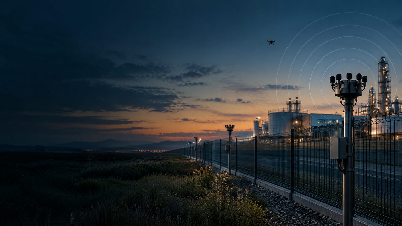
INFORMATION & PROJECT-GOVERNANCE CONTEXT / CONCEPTUAL SCENE
Put technology questions back into an authorised, reviewable, and verifiable project context.
This conceptual scene helps explain conditional information, protected services, human review, and written validation. It is not a deployment or field-outcome claim.
BLOG SUMMARY
A project question before a product shortlist
A credible low-altitude security project begins with a written definition of the protected service, the information that may lawfully be collected, the decisions a human must review, and the safety offsets that limit any downstream action. Acoustic, RF, radar, EO/IR, and fusion can be considered as conditional, complementary information contexts; none should be presented as a guaranteed capability. The integration outcome should be a validated boundary, clear ownership, and evidence that the design supports authorised use.
TERMS IN THIS GUIDE
Hover, focus, or tap a term for a bounded definition. Each definition links to the terminology reference.
INFORMATION CONTEXT / 01
1. Define the protected service and project question
Start by naming what the programme is protecting: people, continuity of an essential service, a facility boundary, or another explicitly authorised objective. Then turn the concern into a project question such as: what lawful information can help our existing security team assess a low-altitude event without creating unsafe or disproportionate consequences? This wording keeps the scope at system level. It avoids assuming that every object is a threat, that every alert is actionable, or that a detection layer should replace established safety, security, or airspace responsibilities.
CONDITIONS & UNCERTAINTY / 02
2. Map information contexts to integration needs
Treat acoustic, RF, radar, EO/IR, and any fusion layer as conditional and complementary sources of information, not promises of identification, availability, or coverage. The integrator should compare each context against the authorised use case, environmental limits, data governance, interfaces, maintenance ownership, and the organisation’s tolerance for uncertainty. A useful design record explains what each source may contribute, what it cannot establish, how conflicting information is represented, and when a human reviewer must withhold a conclusion pending additional evidence.
CORROBORATION / 03
3. Build safety, privacy, and legal boundaries into the design
The project should visibly preserve safety offsets between information and any consequential decision. Set out who may access inputs, how privacy is respected, how retention and sharing are controlled, and how spectrum, aviation, telecommunications, procurement, and local legal obligations are reviewed. Do not assume that integration authorises interception, disruption, navigation manipulation, or intervention. Any response outside observation must remain with the appropriately authorised authority, use written safeguards, and undergo human review with safety and proportionality considered.
GOVERNANCE & VALIDATION / 04
4. Validate the integration in writing
Close the project with written validation rather than a marketing statement. Record assumptions, permitted information inputs, protected services, interface responsibilities, human review requirements, safety offsets, privacy controls, spectrum and legal checks, limitations, and acceptance evidence. Validation should show that alerts or observations are understandable within the existing security context and that operators can record uncertainty and escalate questions through authorised governance. It should also identify conditions that require reassessment instead of implying universal performance.
TECHNICAL & COMPLIANCE BOUNDARY / 05
This guide is an educational project reference—not an operating, deployment, integration, or performance instruction.
01Availability and interpretation of acoustic, RF, radar, EO/IR, visual, and other information depend on site conditions, environment, data quality, protected services, permissions, privacy, and accountable review. This page does not promise detection, identification, classification, location assessment, tracking, availability, safety, non-interference, or risk outcomes.
02Any equipment, interface, data handling, industrial-system connection, spectrum-related arrangement, aviation coordination, or later project decision requires appropriate authority, engineering review, qualified personnel, and written scope.
03The public guide does not provide target selection, sensor positioning, thresholds, algorithms, execution sequences, signal control, interference, navigation manipulation, or response methods.
BLOG FAQ / 202
Frequently asked questions on How Security Integrators Should Frame a Drone-Detection Project Question.
These answers support bounded, project-level discussion. They are not an operating, deployment, integration, or field-outcome instruction.
RECORDTECHNICAL LIBRARY / GOVERNED INFORMATION FAQ
NEXT STEP / PROJECT PATH
Discuss PCBA delivery and custom-project conditions.
From sensing modules to system integration, interfaces, environmental fit, certification, and documentation scope belong in a written project definition.
CONTINUE THE READING
CONTENT DISTRIBUTION / SHARE
Share this reviewed project release.
Opens the platform share interface in a new window.
Review the full ARC-PERIMETER perimeter solution.
A consolidated reference from microphone-array networking to layered perimeters and project validation.
How C-UAS Integrators Can Turn a Drone Detection Pilot Into a Commercial Project
How C-UAS Integrators Can Turn a Drone Detection Pilot Into a Commercial Project should be discussed as a bounded project question about a governed transition from pilot to commercial project, not as a promise that a technology will detect, identify, locate, track, cover, or protect a particular site. A responsible C-UAS review starts with authority, protected services, privacy, safety, environmental context, accountable human review, and written validation before it treats any sensor indication as decision-ready evidence.
Building a Private-Label UAV Detection Solution for Security Integrators
Building a Private-Label UAV Detection Solution for Security Integrators should be discussed as a bounded project question about private-label security-integrator governance, not as a promise that a technology will detect, identify, locate, track, cover, or protect a particular site. A responsible C-UAS review starts with authority, protected services, privacy, safety, environmental context, accountable human review, and written validation before it treats any sensor indication as decision-ready evidence.